
Sierra de Guadarrama tracks
Sierra de Guadarrama has countless paths, trails, and routes to enjoy all its landscapes. Here you can download some of the tracks of the Sierra de Guadarrama not to miss.
You also have 15 routes mapped with Street View Trekker, the Google system to capture images of the most spectacular and hidden places on the planet. You can access by clicking HERE.

Alpedrete. A stroll though the meadow and ancient quarries
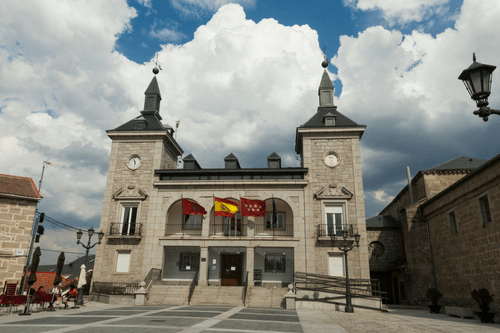
Starting point: Plaza de la Constitución.
Destination point: Plaza de la Constitución.
Lenght: 6,12 km.
Alpedrete. Ascending to Cerro del Cañal
Starting point: Plaza de la Constitución.
Destination pointe: Plaza de la Constitución.
Length: 6,74 km.

El Boalo-Cerceda-Mataelpino. Circular Tres Villas
Starting point: Plaza Mayor de Cerceda
Destination point: Plaza Mayor de Cerceda
Length: 20,5 km.

El Boalo-Cerceda-Mataelpino. Circular Los Rasos
Starting point: Plaza de España Mataelpino
Destination point: Plaza de España Mataelpino
Length: 4,18 km.

Cercedilla. From Majavilán to the Poet’s viewpoints throug Ducha de los Alemanes
Starting point: Majavilán Car Park
Destination point: Luis Rosales viewpoint
Length: 5,38 km.

Guadarrama. A stroll through La Jarosa trenchs
Starting Point: La Jarosa Road
Destination point: La Jarosa Road
Length: 5,75 km.

Guadarrama. The white poplars route
Starting point: Puerto de Guadarrama.
Destination point: Puerto de Guadarrama.
Length: 9,16 km.

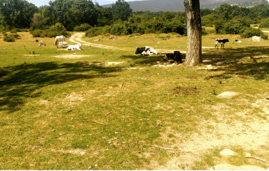
Hoyo de Manzanares. Circular Mediterranean Forest
Starting point: Plaza Mayor.
Destination point: Plaza Mayor
Length: 14,54 km.
Los Molinos. A stroll in Los Molinos Meadow
Starting point: Doctor Rodríguez Padilla Park
Destination Point: Doctor Rodríguez Padilla Park
Length: 11 km.

From Miraflores de la Sierra to Soto del Real through ueco de San Blas
Starting point: Fountain of El Cura.
Destination point: Plaza de La Villa.
Length: 15,40 km.

From Miraflores de la Sierra to Soto del Real through Nuestra Señora del Rosario chapel
Starting point: Fountain of El Cura.
Destination point: Plaza de La Villa.
Length: 8,76 km.
Moralzarzal.Circular route “atarjea”
Starting point: Bullfighting ring
Destination point: Bullfighting ring
Length: 5,94 km.

Navacerrada.La Barranca Valley
Starting point: La Barranca Valley Car Park
Destination point: La Barranca Valley Car Park
Length: 9,01 km.

From Soto del Real to Miraflores de la Sierra through Hueco de San Blas
Starting point: Plaza de la Villa.
Destination point: Fountain of El Cura
Lenght: 15,51 km.

From Soto del Real to Miraflores de la Sierra through Rosario Chapel
Starting point: Plaza de la Villa.
Destination point: Fountain of El Cura
Length: 8,76 km.
In case you prefer not to be alone in your hiking trips in the Sierra de Guadarrama here you can find the best professionals:
